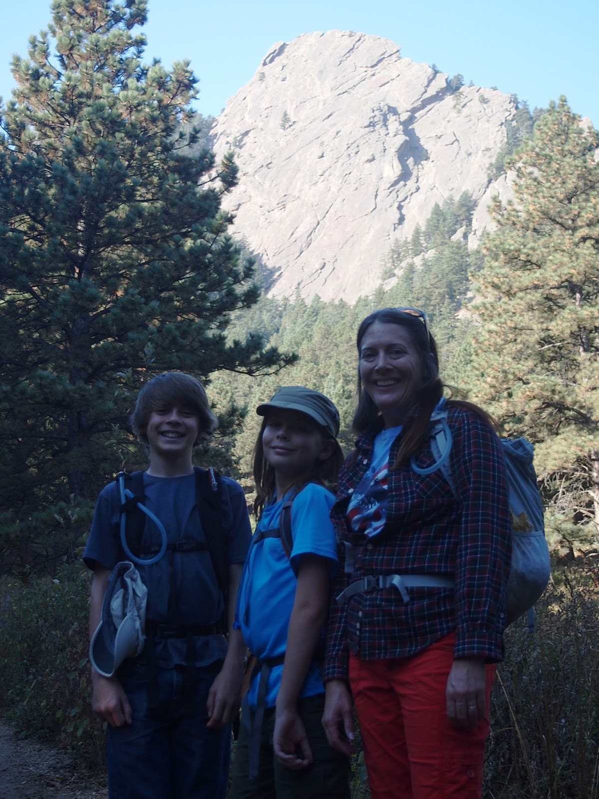
Feeling pretty good about ourselves coming off our first day hike in a while, we tackled Green Mountain on the second day. Taking the park ranger's advice, we started on the Amphitheater Trail. Now this hike, by all accounts, is a strenuous one.
ProTrails rates it as such and I think our whole family would whole-heartedly agree. Depending on your choice for descent, the hike is around 5.5 miles and just over 2,400 feet o altitude gain. I have to say that these trails, especially the Amphitheater Trail, have some questionably designed sections. There is definitely room for adding some switchbacks to take away the sense that someone just barreled straight up the mountain and called it good.
That said, this was another hike filled with spectacular views. As billed, at the summit you could see 360 degrees around. It's possible to see downtown Denver (about 30 miles distant), a huge section of the Continental Divide, and I would guess easily 50 miles out into the Eastern Colorado plains.
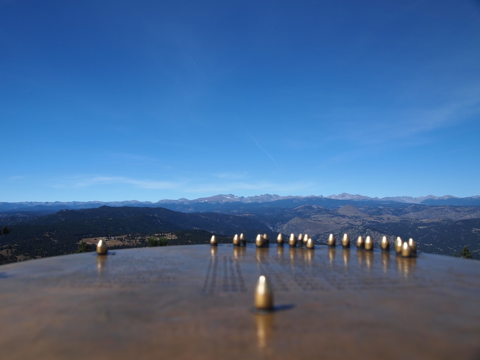
Thanks to some awesome people from the University of Colorado WAY back in 1929, there is a cool sighting tool at the top that tells you names and elevations of the peaks to the west.
Here's what it looks like:
 |
| Leashes to protect the bears? |
 |
| A rocky start - the trail skirts lots of these large formations |
 |
| Wrinkly old man |
 |
| Color looks over-saturated, but it was really clear that day - the light was amazing. |
 |
| Rest break! |
 |
| Look at that! Look at what? No idea. |
 |
| Not there yet, but can already see the Continental Divide |
 |
| I am King of ... this pile of rocks! |
 |
| Nearing the top |
 |
| Another break - did I mention the climb was strenuous? |
 |
| I think I can see Limon. From the top looking East |
 |
| The aforementioned sighting tool with names for the peaks |
 |
| It was hard to get a good shot, but you use the near marker to line up with any of the far markers and the legend tells you the peak's name and altitude. |
 |
| Cabin on the trail going down |
 |
| Some of us were a little puffed! |
 |
| Looking back up into Gregory Canyon on the way back down. |
 |
| Gregory Canyon Trail view of Boulder |